
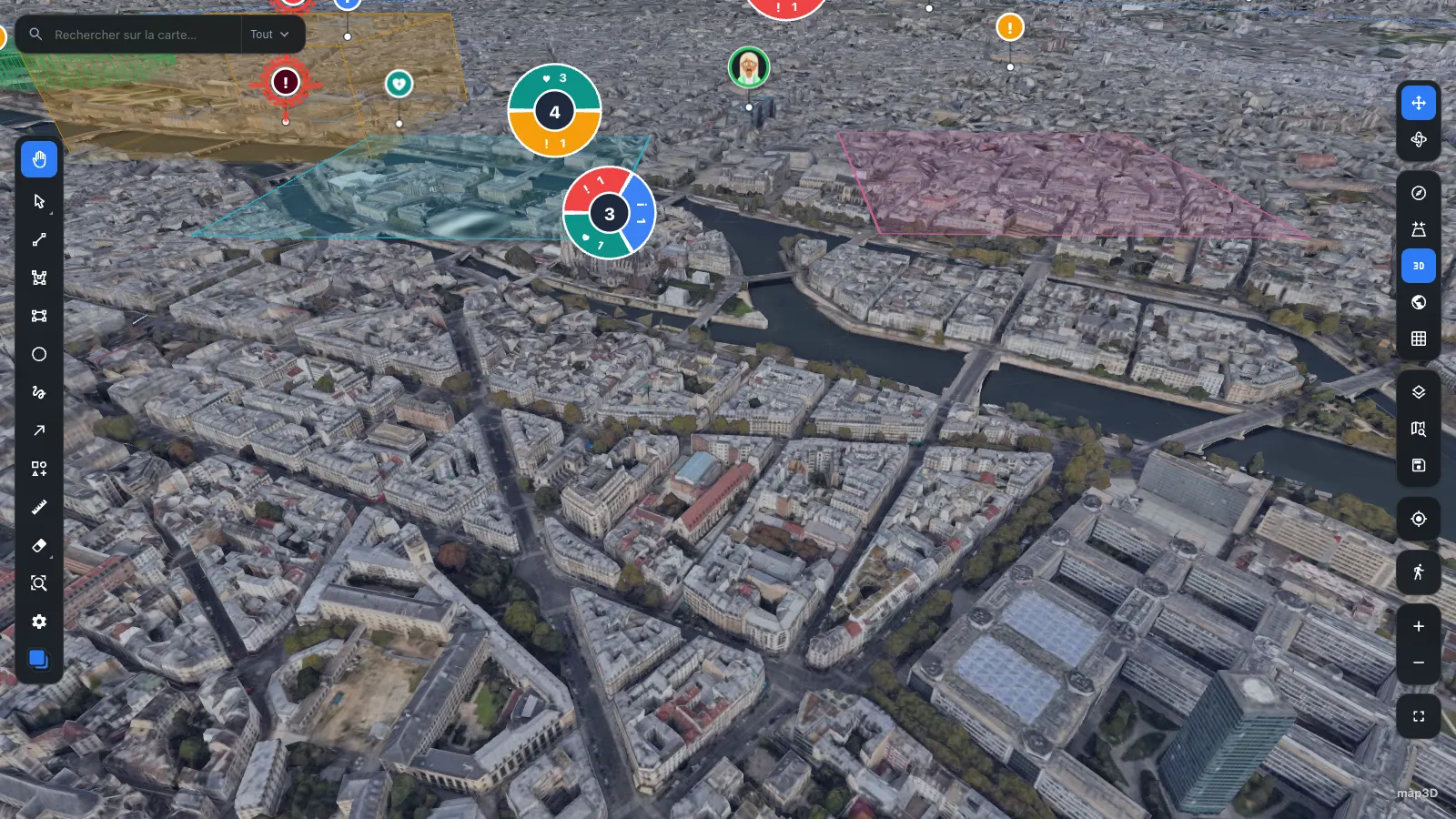
Paris Google Photorealistic 3D Tiles 48.8584° N · 2.2945° E
React 19 · three.js ≥ 0.160 · ESM + CJS + types
Real-time 3D
cartography
for React
Cartographie 3D temps réel pour React.
An imperative Three.js engine that React mounts and then stays out of. MapEngine owns the camera, the tiles and the layers, so the frame loop never waits on a re-render.
npm i @pasquelin/map3d three react react-dom
- Version
- 0.6.0
- Peers
- react 19 · three ≥ 0.160
- Build
- ESM + CJS + .d.ts
- Licence
- PolyForm Noncommercial
Live demos
Run it in the browser
No install, no key. The demos below are built from this repository on every push and served straight from GitHub Pages.
Gallery
From orbit to the pavement
One library covers the whole descent — orbital globe, regional clustering, rooftop skyline, street names underfoot.
-
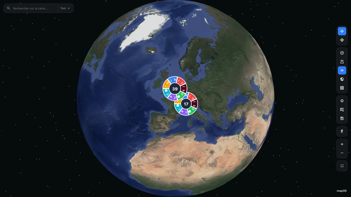
12 700 km Globe to flat map ellipsoid fallback, smart clustering
-
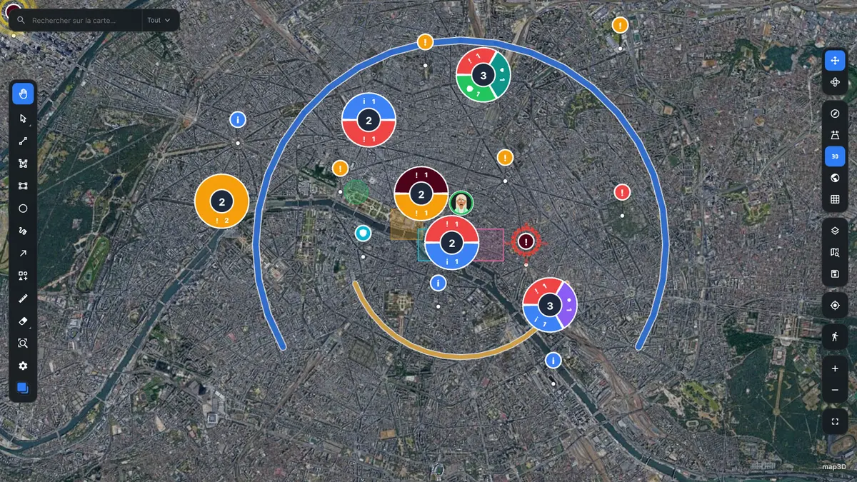
9 km Markers and clusters pooled DOM nodes, split by category
-
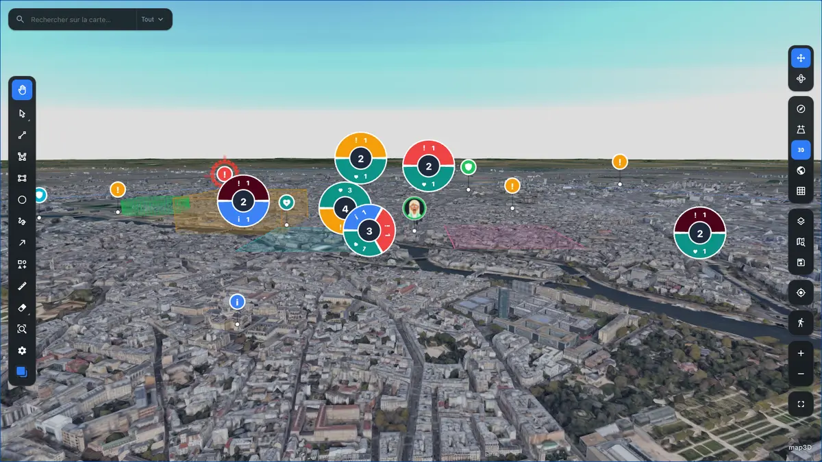
3 km Skyline and horizon markers keep their screen size, whatever the pitch
-
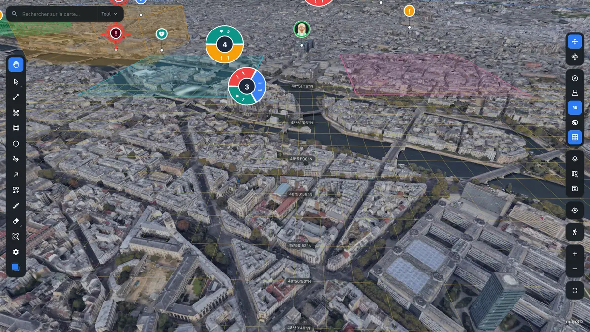
900 m Coordinate graticule draped on the ground, constant line width on screen
-
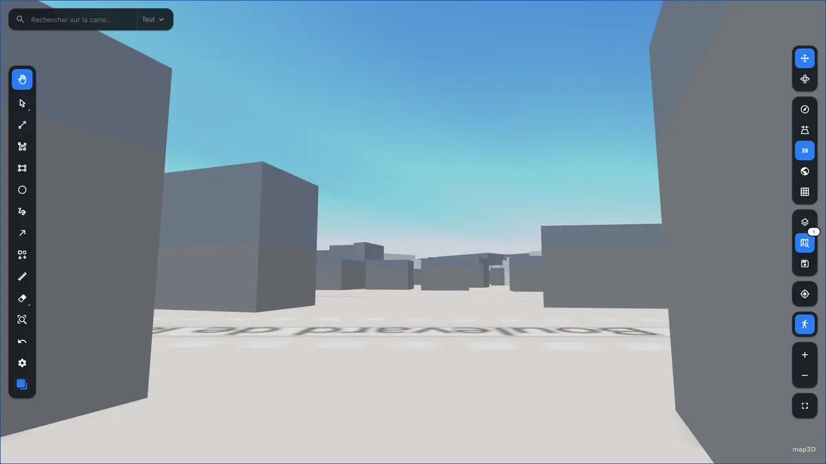
1,7 m Pedestrian mode eye height, gravity, collisions
Capabilities
What ships in the box
Every surface — toolbar, controls, search, coordinate grid, clustering — is mounted inside <Map> and driven by configuration. You add the data.
-
Photorealistic 3D, flat 2D
cesiumIonTokenGoogle Photorealistic 3D Tiles through Cesium Ion, an ellipsoid globe when no token is set, and a 2D basemap that runs from Google or your own XYZ server. -
DOM markers and clusters
markersLayer()Real DOM nodes with native hover, focus and CSS animation. Pooled and written in a singletranslate3dpass; a moving agent glides instead of being recreated. -
Drawing editor
drawMarquee and lasso selection, resize and rotate handles, per-tool styles, undo/redo, GeoJSON in and out. -
Viewport-driven live data
useLiveData()Bounding-box refetch as the camera moves, plus real-time updates. -
MIL-STD-2525D symbology
dynamic importThe 9 MB symbology SDK is loaded on demand — it never enters a bundle that shows no symbols. -
Typed theme and labels
theme · labelsLight and dark,prefers-reduced-motionhonoured, fully translatable. No hard-coded string or value anywhere.
In action
The tools, at work
Every screenshot below is the demo you can open above — no mockups.
-
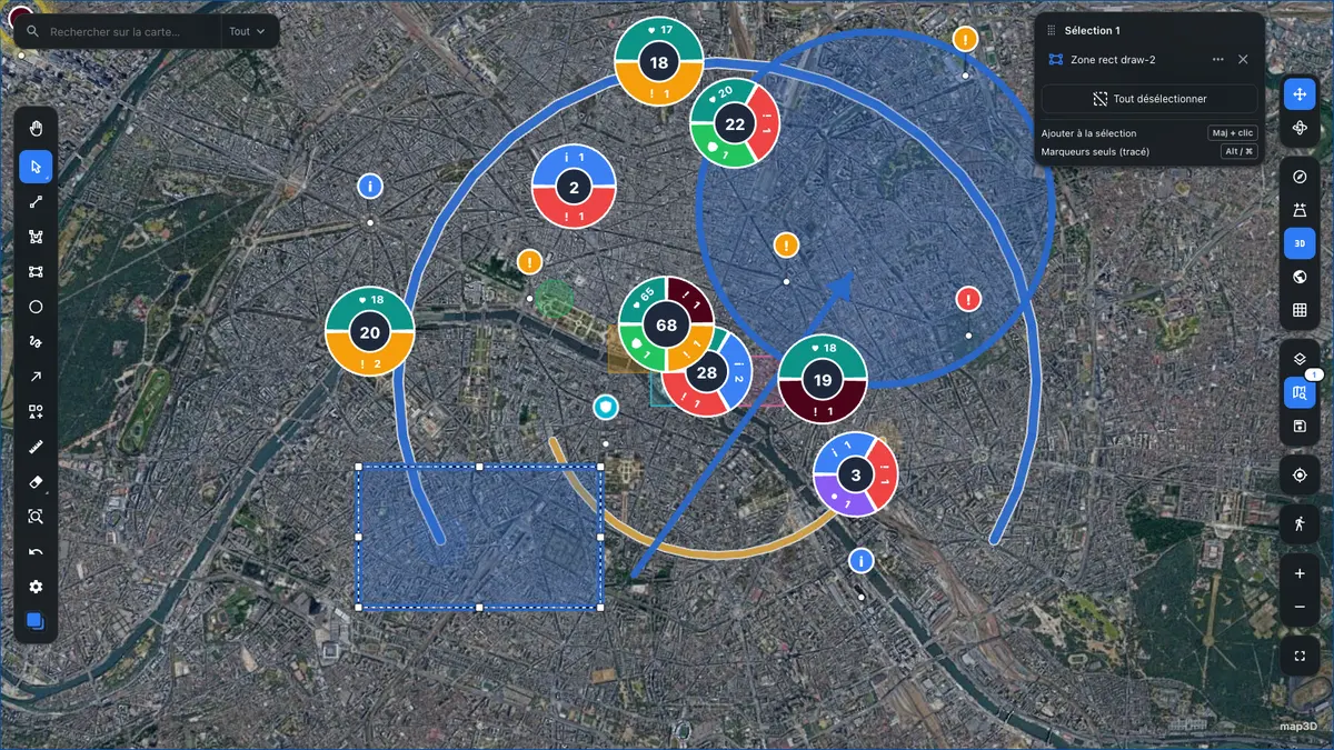
Drawing and selectionresize and rotate handles, live selection panel, undo/redo
-
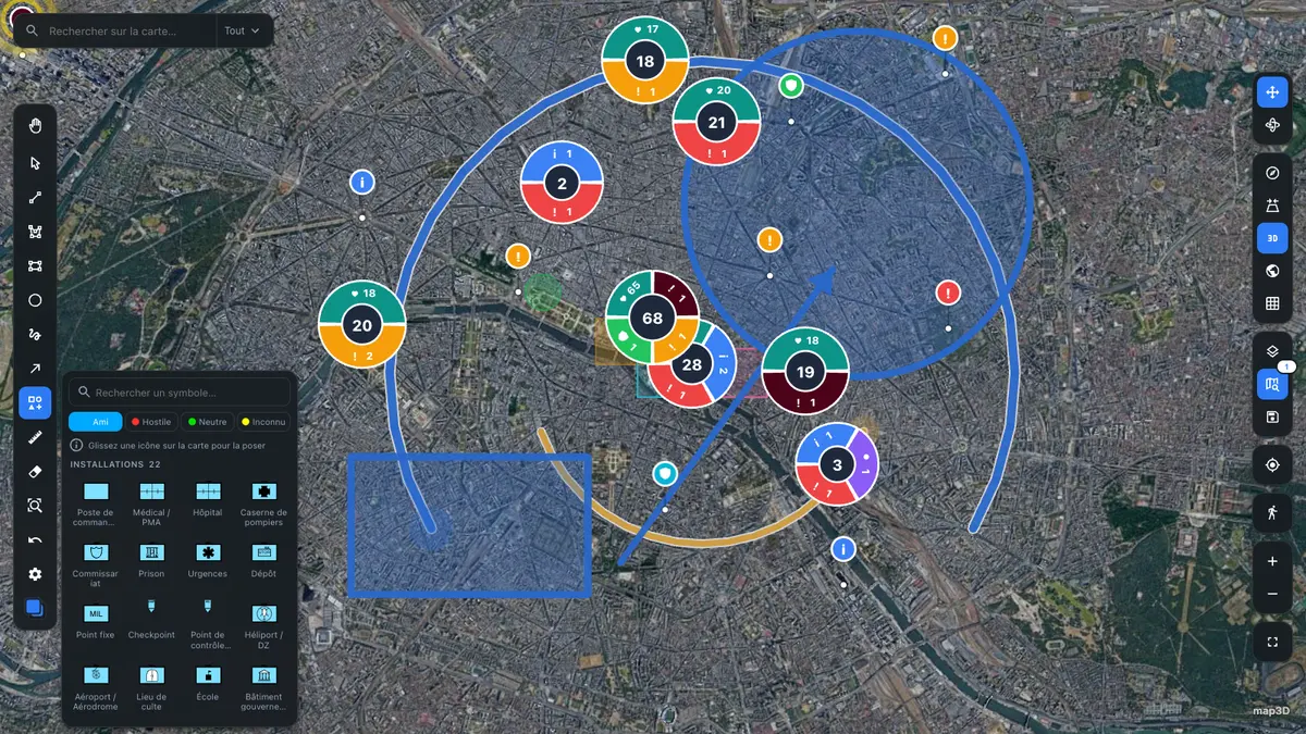
MIL-STD-2525D palettefriend, hostile, neutral, unknown — SDK loaded on demand
-
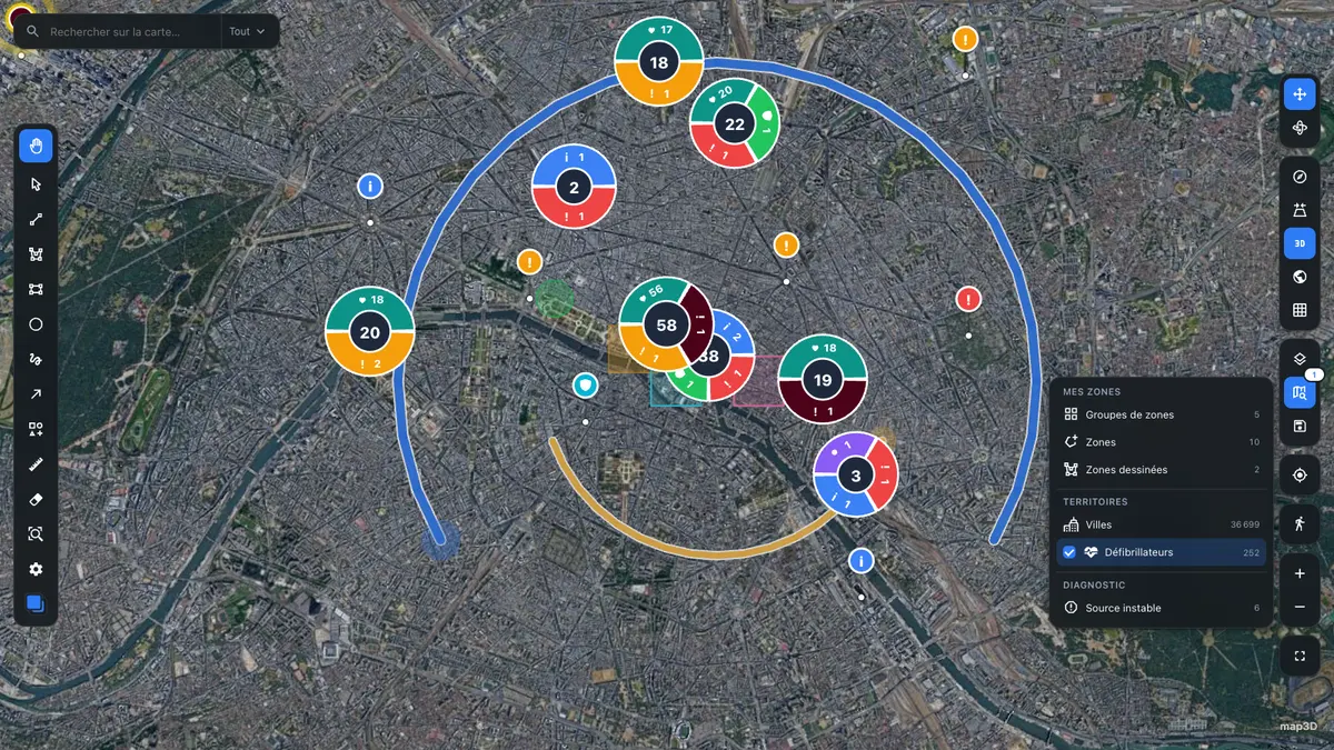
Catalog and live sourcesswitch a source on, 252 points land and the clusters recompute
-
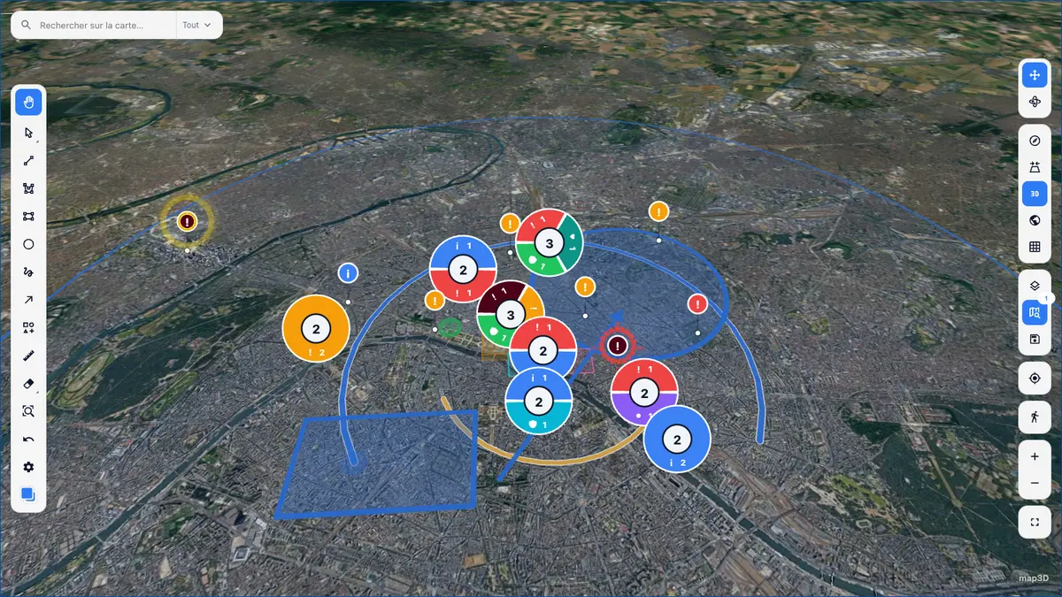
Light themeone setting — the whole UI follows, map included
Quick start
A clustered map in a dozen lines
import { Map, markersLayer, type MarkerData } from '@pasquelin/map3d'

type Alert = { title: string }

const alerts: MarkerData<Alert>[] = [
  { id: 1, type: 'critical', position: { lat: 48.8566, lng: 2.3522 }, title: 'Intrusion', data: { title: 'Intrusion' } },
  { id: 2, type: 'info', position: { lat: 48.8606, lng: 2.3376 }, title: 'Patrol', data: { title: 'Patrol' } },
]

export function App() {
  return (
    <div style={{ height: '100vh' }}>
      <Map
        center={{ lat: 48.8566, lng: 2.3522 }}
        zoom={13}
        layers={[markersLayer<Alert>({ points: alerts, cluster: { enabled: true } })]}
      />
    </div>
  )
}
Optional plugins — IGN Géoplateforme, Windy, indoor floor plans — live in a separate repository, and you can write your own with the plugin API.